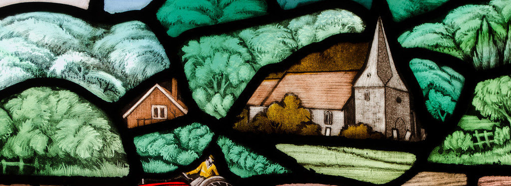
Mountfield is situated in the unique and beautiful High Weald Area of Outstanding Natural Beauty, a medieval landscape of wooded, rolling hills, studded with standstone outcrops, small, irregular-shaped fields, scattered farmsteads and ancient routeways.
It is a village and civil parish in the Rother District of East Sussex, three miles north-west of Battle and is mentioned in the Domesday Book.
There are two sites of Special Scientific Interest within the parish
- The River Line is a section of river noted for its geological features as it cuts through many layers of the late Jurassic and early Cretanceous periods.
- Darwell Wood is a broadleaved woodland of biological interest. It has a number of streams flowing through it on the way to Darwell Reservoir.
Two miles north-west of the village are the overgrown vestigial remains of Glottenham Castle, a 12th century fortified manot house, surrounded by a moat now mostly dry.
